Soil Classification Mapping in North and South Cypress with ArcGIS Pro
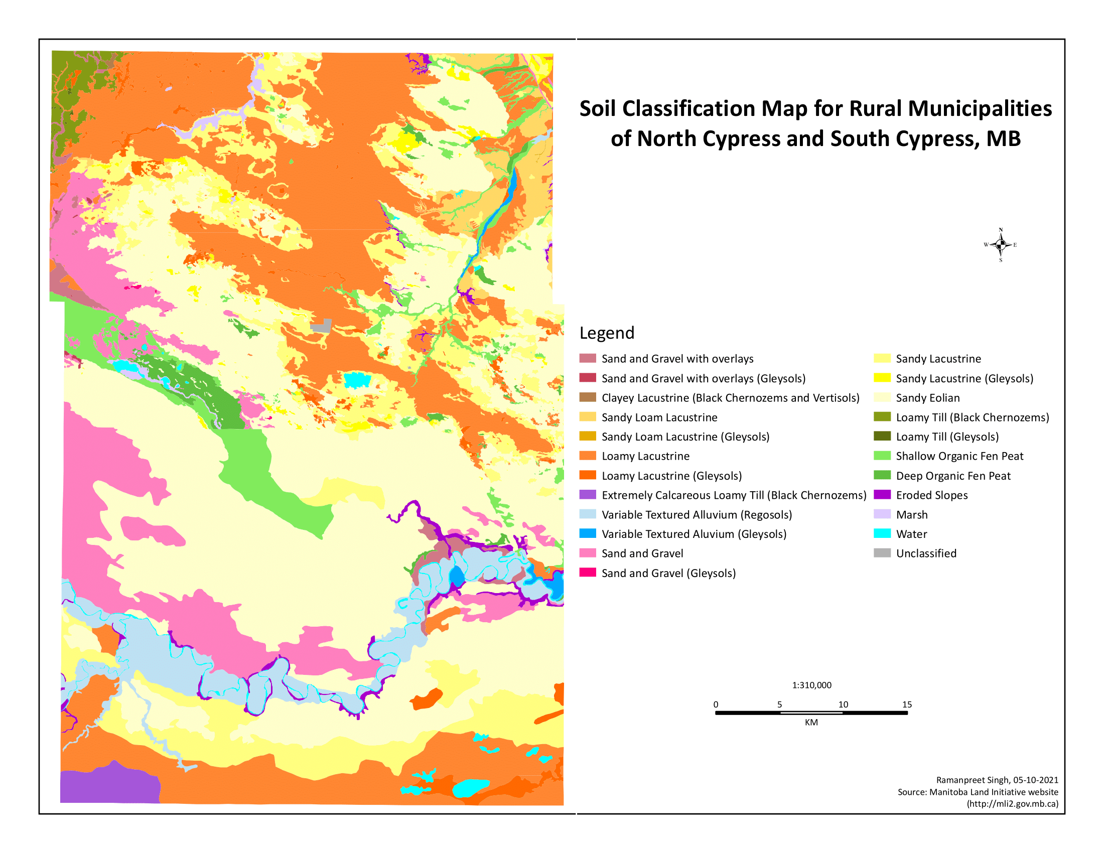
This project uses ArcGIS Pro to create a detailed soil classification map for the rural municipalities of North Cypress and South Cypress in Manitoba. The map is color-coded, with each color representing a different soil type as per the legend. The project involved an in-depth analysis of soil data, including factors such as texture, composition, and fertility. This information was then used to classify the soils into different types. The resulting classifications were visualized on the map, providing a clear and comprehensive overview of the soil types present in these municipalities. This project demonstrates the power of GIS in environmental studies and land use planning.