Identifying Optimal Sites for Wind Power Plants in Manitoba with ArcGIS Pro
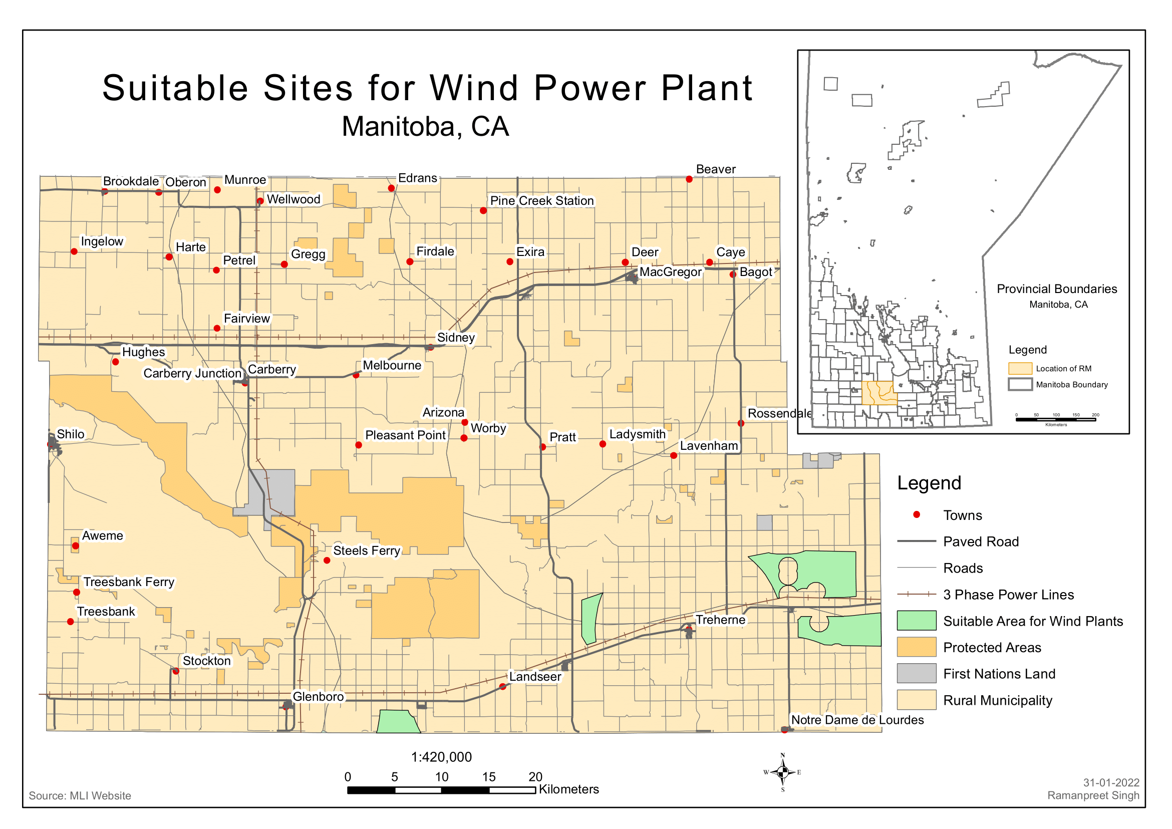
This project leverages the power of ArcGIS Pro to identify suitable sites for wind power plants in Manitoba, Canada. The map provides a detailed landscape view of the region, marking towns, existing power plants, roads, rivers, and natural areas. The project involved a thorough analysis of various factors such as wind speed and direction, proximity to existing power grids, and environmental considerations. The suitability of each site was determined based on these factors, and the results were visualized on the map using a color-coded system. This project exemplifies the use of GIS in renewable energy planning and environmental management.